

The Shore Stations Program consists of 10 active stations along the California Coastline
Data from the Shore Stations Program consists of daily, manual measurements of surface temperature and salinity from the ten active stations. Six of the 10 stations take both daily temperature and salinity measurements (La Jolla/Scripps Pier, San Clemente, Newport Beach, Granite Canyon, Farallon Islands, and Trinidad Beach). The remaining four stations (Point Dume/Zuma Beach, Santa Barbara, Pacific Grove, and Trinidad Bay) take only daily temperature measurements. These data are available in excel and csv spreadsheet formats through the UC San Diego Library Digital Collections. https://doi.org/10.6075/J0S75GHD.
Map of Active Shore Stations

Learn more about the Shore Stations:

Scripps Pier, La Jolla
Temperature and Salinity Measurements
Data since 1916 (surface) and 1926 (bottom)
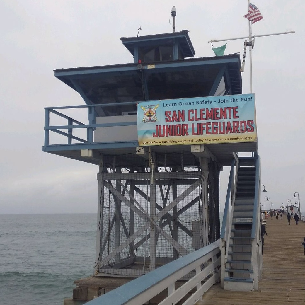
San Clemente
Temperature and Salinity Measurements
Data since 1965
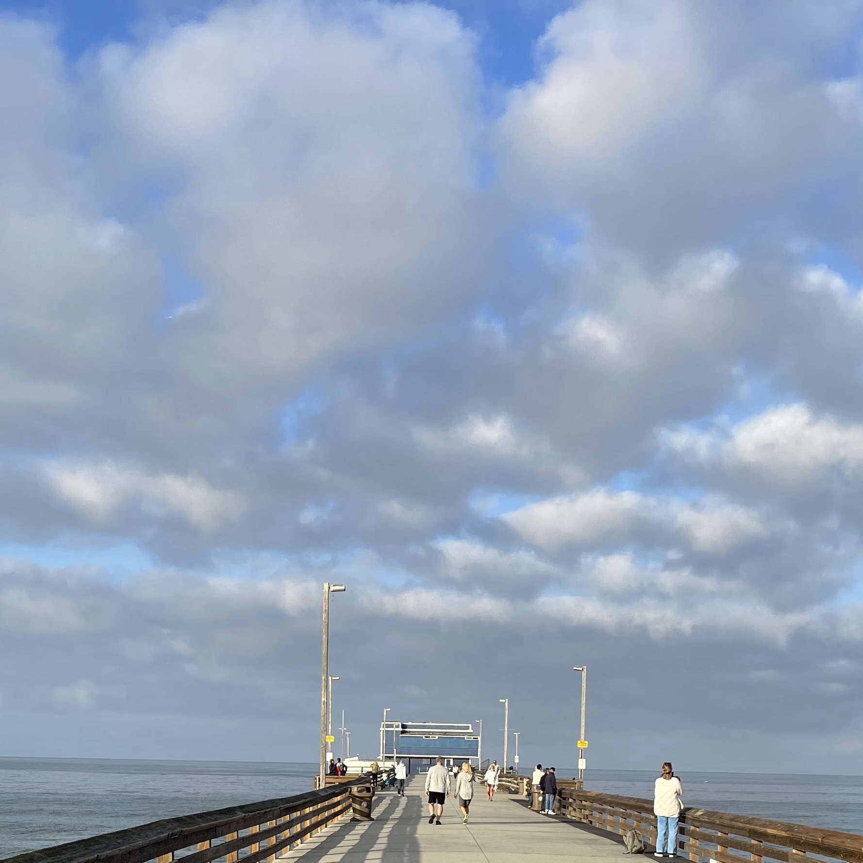
Newport Beach
Temperature and Salinity Measurements
Data since 1924
Point Dume / Zuma Beach
Temperature Measurements Only
Data since 1956
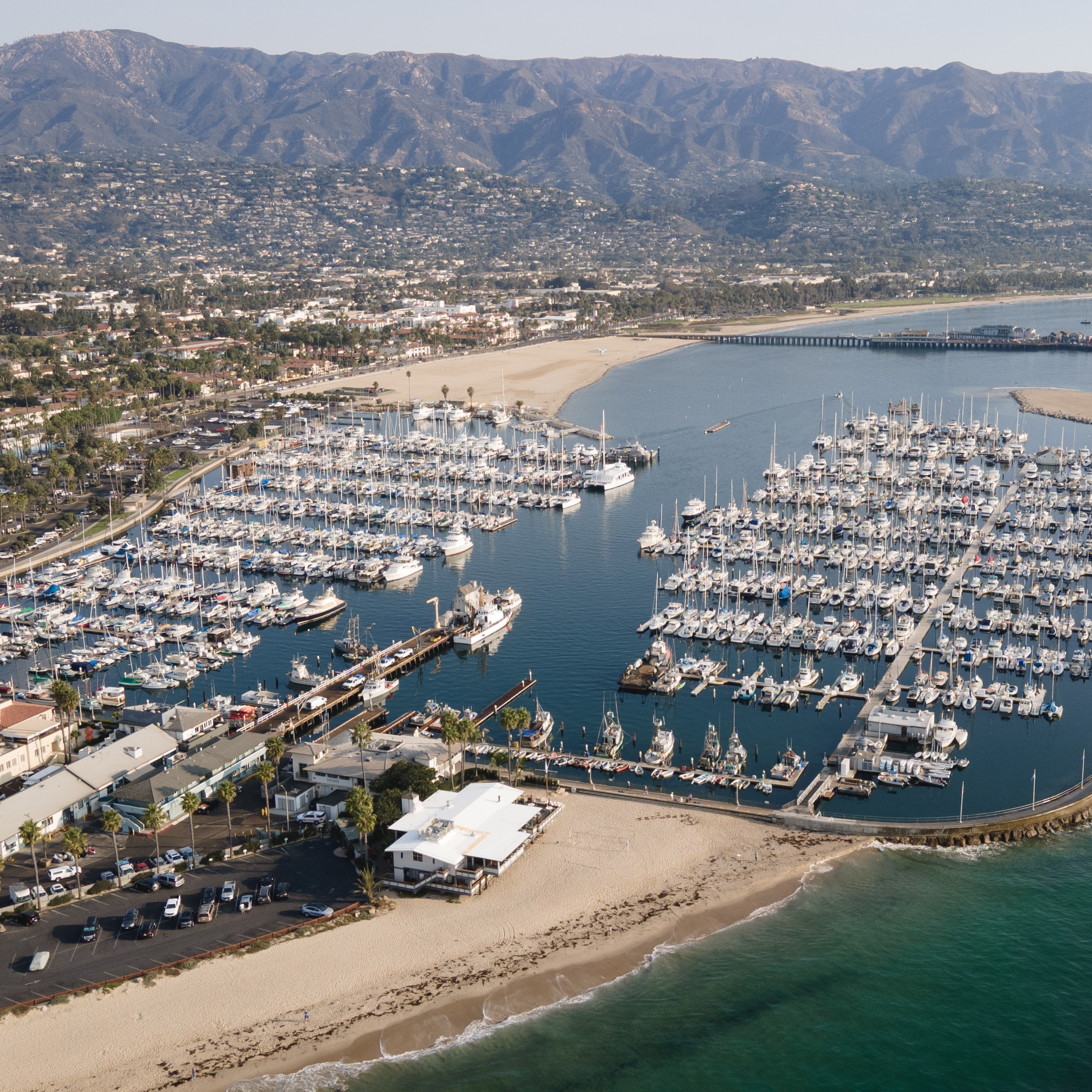
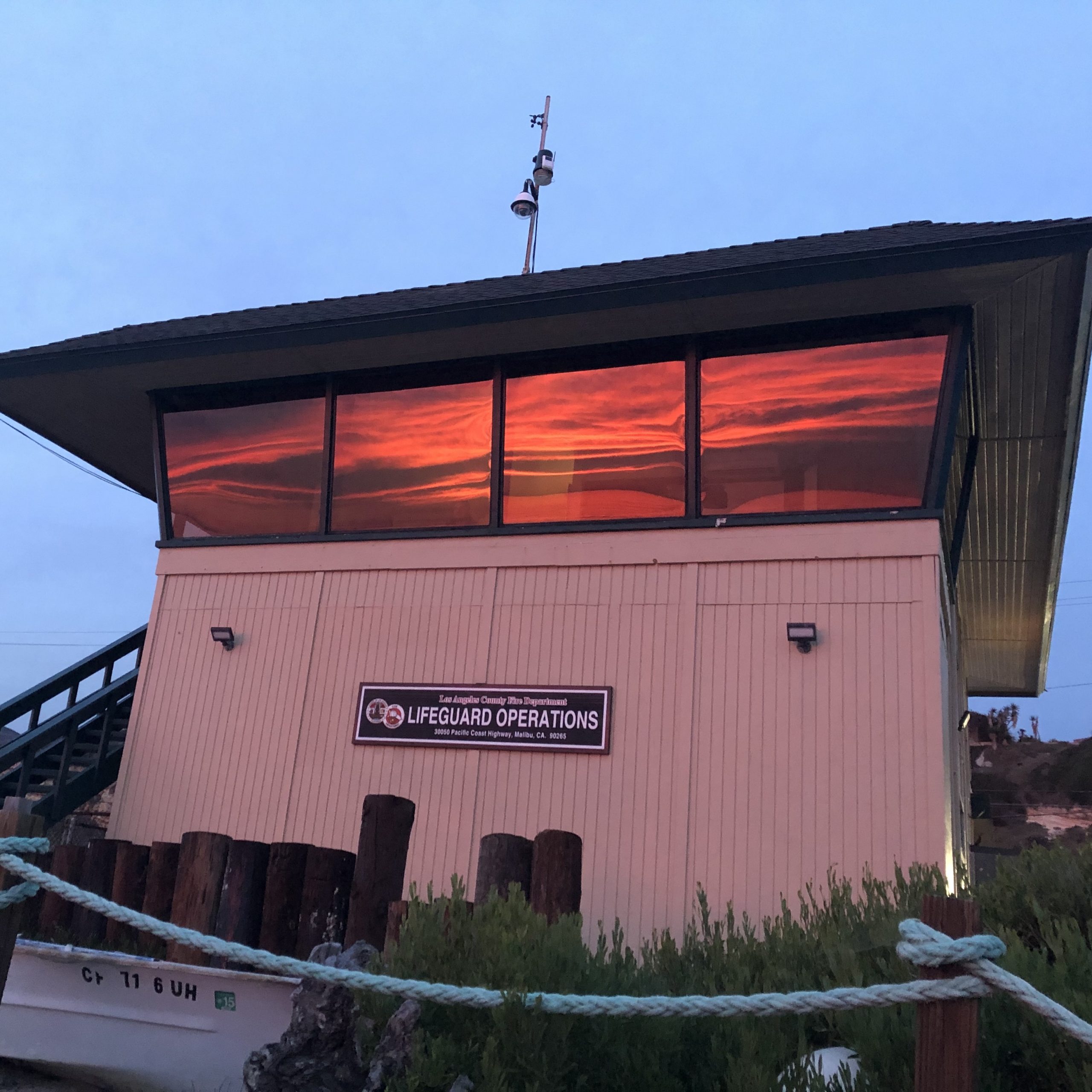
Santa Barbara
Temperature Measurements Only
Data since 1924
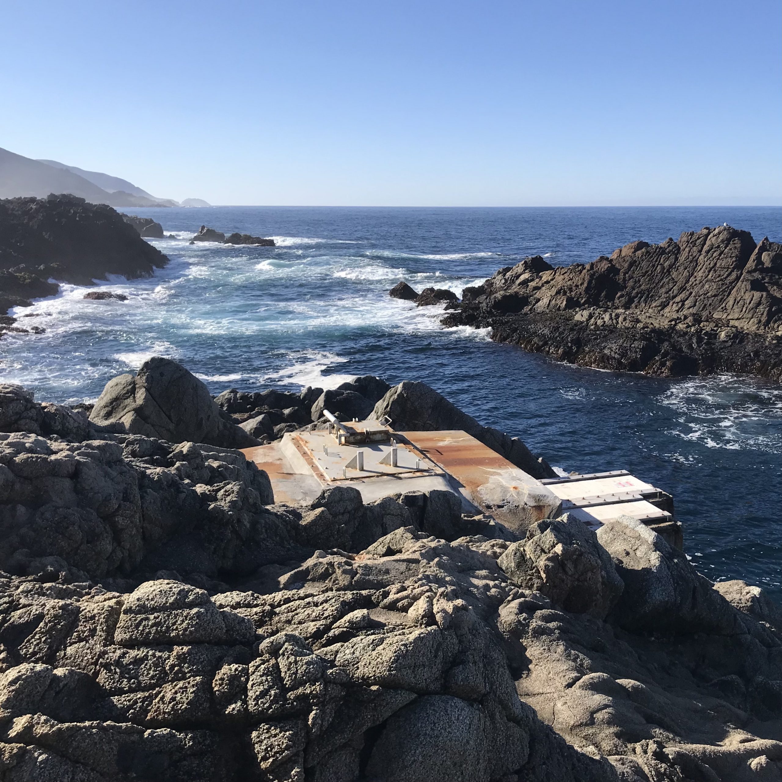
Granite Canyon
Temperature and Salinity Measurements
Data since 1971
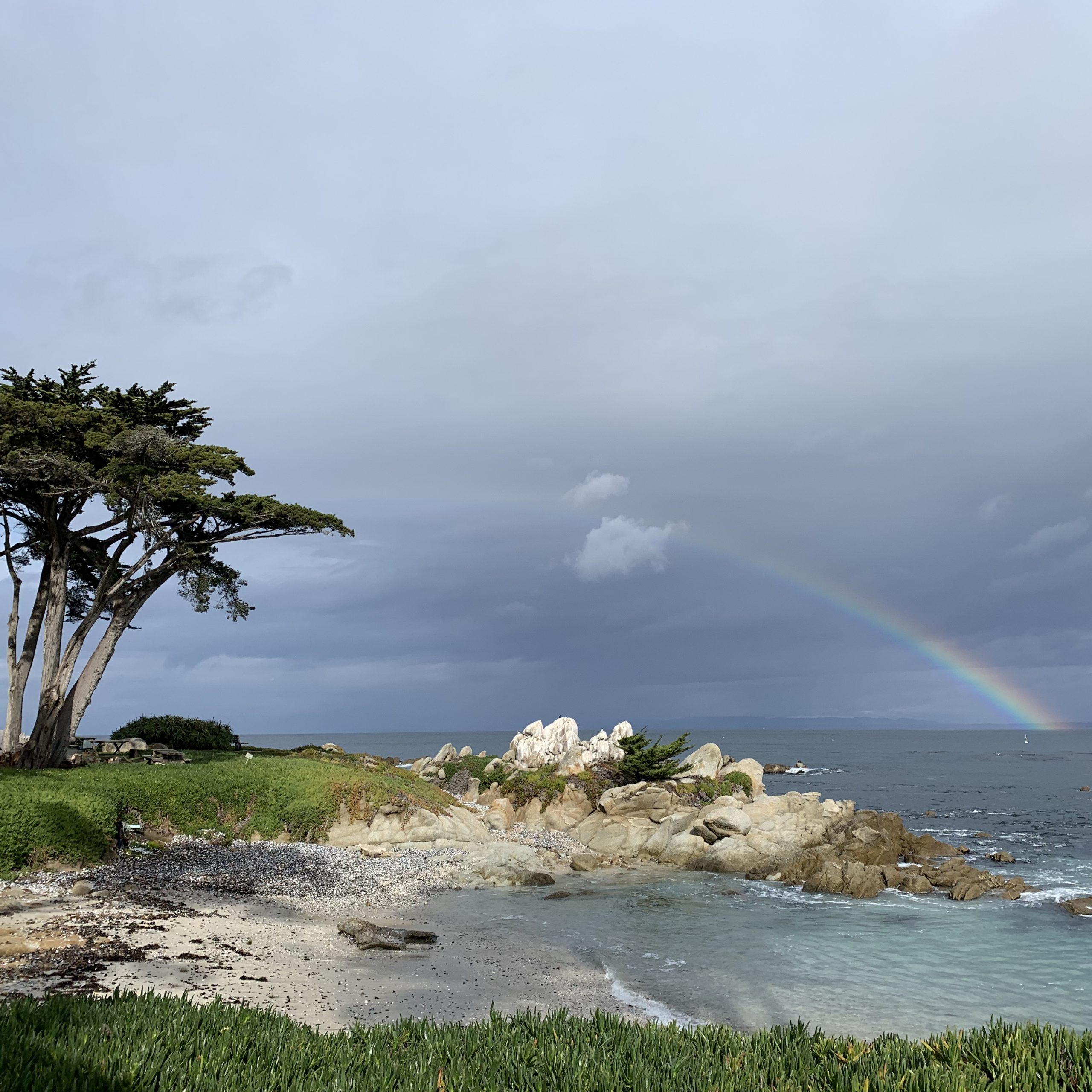
Pacific Grove
Temperature Measurements Only
Data since 1919
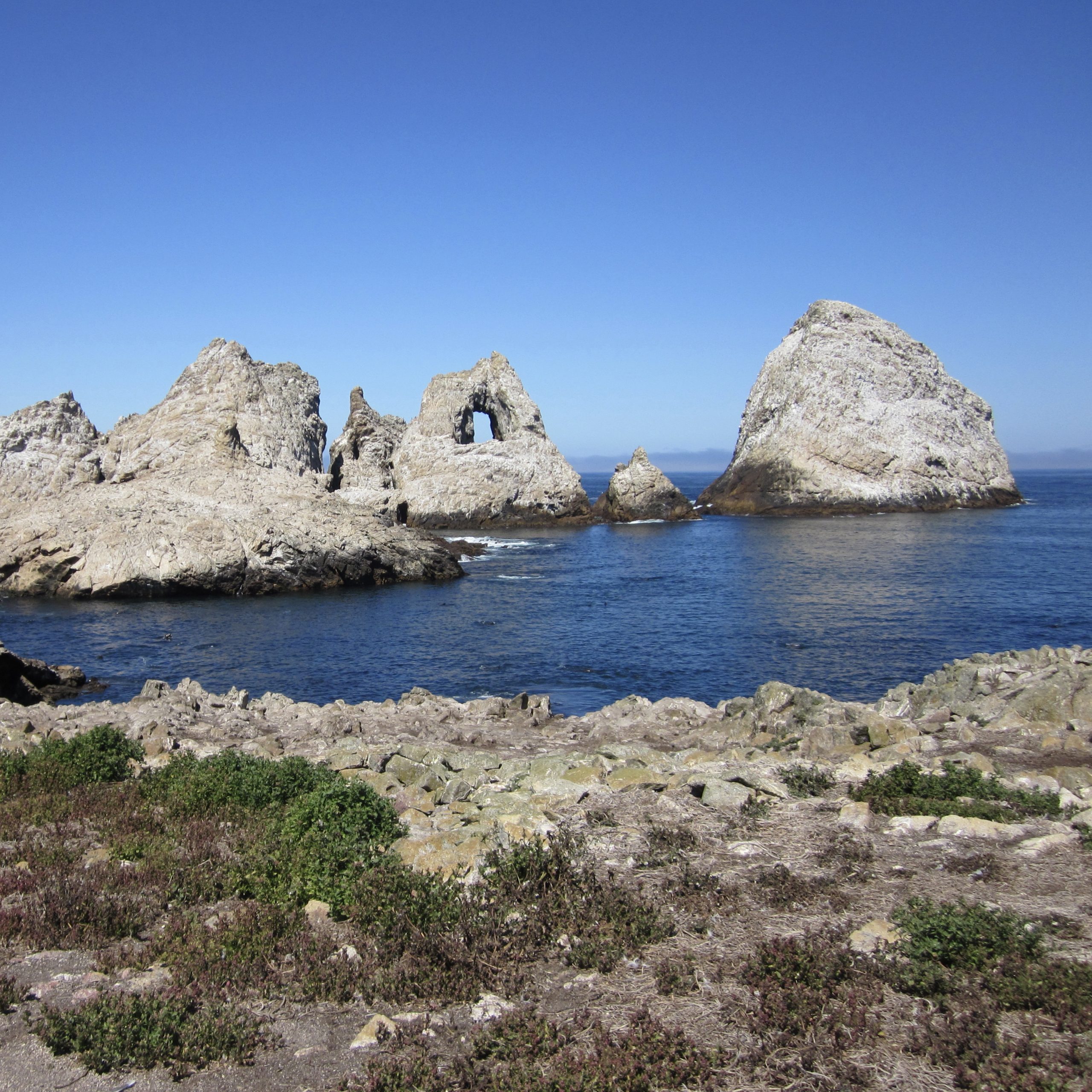
SE Farallon Island
Temperature and Salinity Measurements
Data since 1925

Trinidad Beach & Bay
Santa Barbara
Temperature (Beach & Bay) and Salinity (Beach Only) Measurements
Data since 1973 (Bay) and 1975 (Beach)